
Description
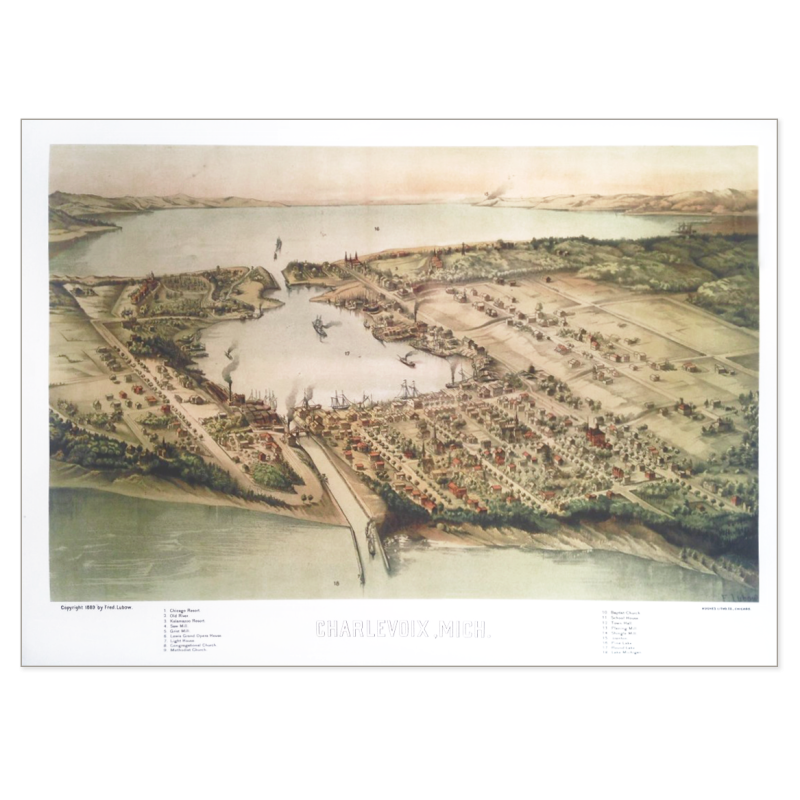
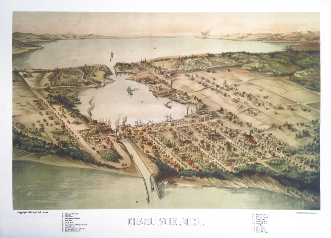
Modern, high-quality reproduction of Fred Lubow’s lithographic bird’s-eye view map of Charlevoix, drawn in 1889. One of Charlevoix’s earliest and most historically important maps, capturing waterway improvements and the town’s aerial prospect in the years just before the advent of the railroad and the early modern era.
Lovingly restored by the Great Lakes Map Company.
Price includes high-quality mailing tube to protect the map during shipping and storage.

Reviews
There are no reviews yet.